Hi,
When making photos with my regular camera I always use my iPhone to create GPX files. I was able to use them with Map module of Lightroom to sync locations with photos. I was also able to do that with other apps. Can MetaImage do something similar? Option of Edit>Location tags>Import… is not allowing me to open GPX files - they are greyed out.
Hey there,
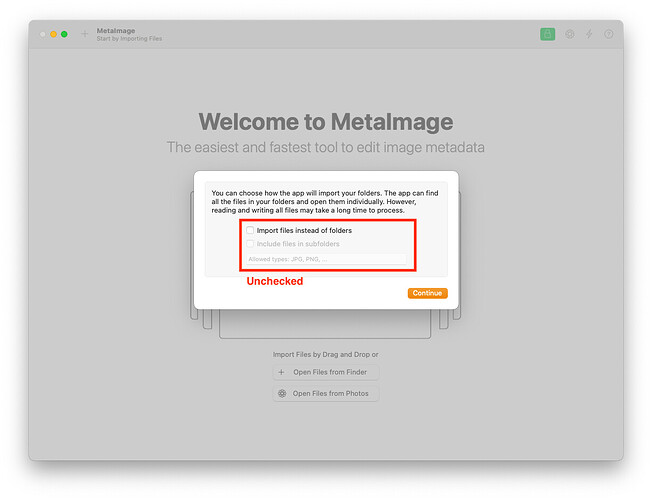
Sorry about the delay. The reason the action is grayed out is that MetaImage only works with GPX files when applied to folders, not individual images.
To get things going, import a whole folder instead of single images. Once the folder is in, select it and then use the action with your GPX file.
If you have any more questions or need further details, just let me know.
Best,
Jérémy Vizzini
